Accessing and Working with Planet Labs Imagery Data

Join the ASU Library Map and Geospatial Hub for this two-hour workshop on accessing and working with the robust Planet Labs' satellite imagery data available to ASU affiliates.
Planet Labs Inc. has chosen ASU as its first institutional data partner for higher education. PlanetScope and RapidEye sensors collect imagery at 3-5 meter spatial resolution at daily temporal resolution.
During this two-hour workshop session, ASU participants can expect to:
- Learn about the ASU Planet Incubator Program.
- Differentiate between Planet satellite sensors (PlanetScope and RapidEye).
- Gain exposure to methods for accessing Planet imagery data.
- Navigate the Planet Explorer interface and search for scenes.
- Explore and filter by different types of Planet imagery options.
- Order and download Planet imagery.
- Import data into an open source GIS platform (QGIS).
- Mosaic (merge) multiple scenes.
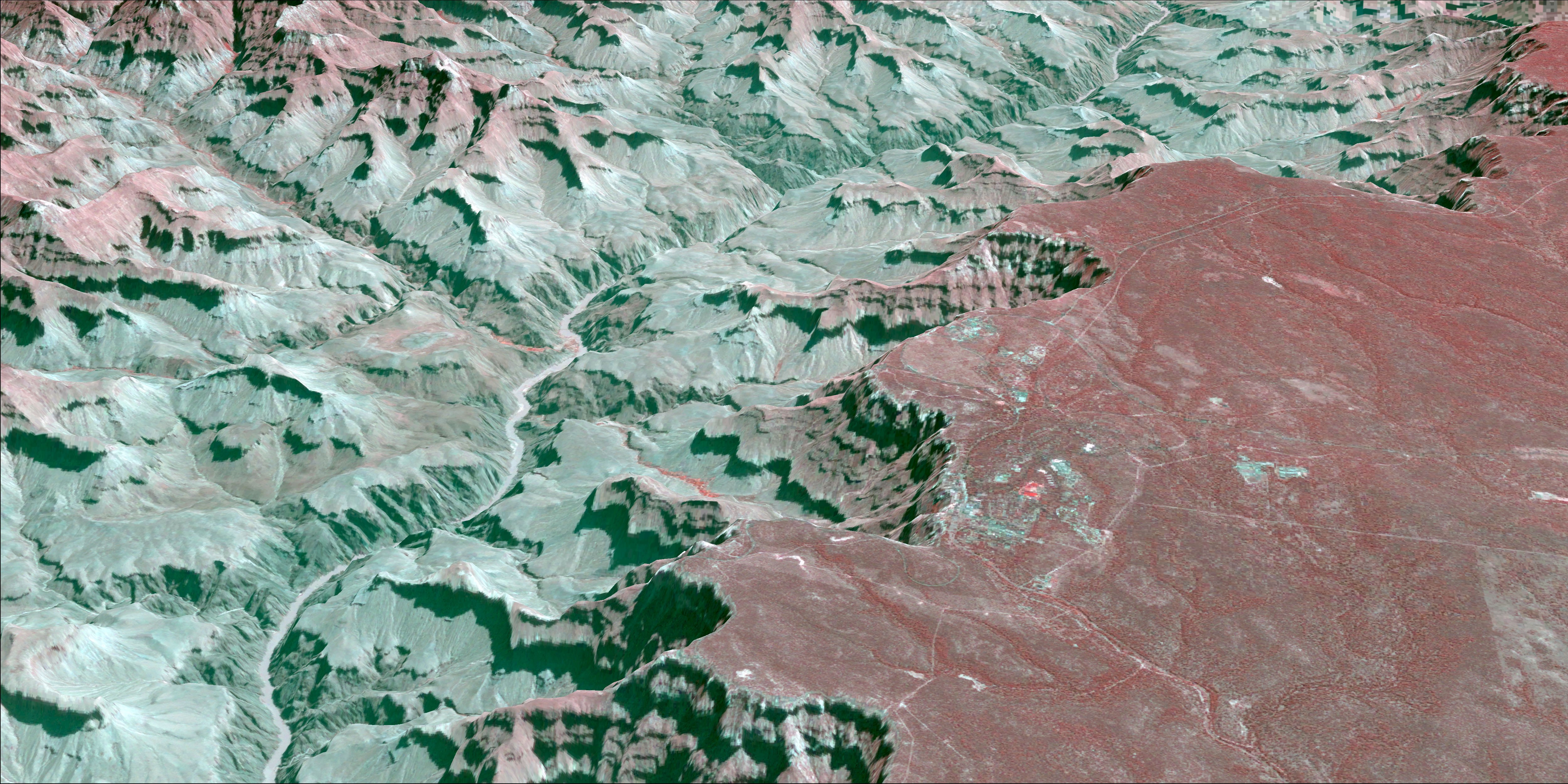
- Create multi-band false- and true-color composites.
- Re-project (warp) image coordinate reference systems.
- Basic raster calculator functions.
- Raster value extraction by polygon.
The Planet Incubator Program (PIP) provides access to an unprecedented level of Planet's daily stream of imagery data.
All workshop participants must first apply for their Planet Labs Inc. account by completing the registration form found at the PIP website (https://gdcs.asu.edu/programs/planet-incubator-program).
Workshop instructor:
- David Knapp
Please see the full calendar of Map and Geospatial Hub events.