ASU GIS Day 2018
Join the geospatially curious at Arizona State University and throughout the greater metro Phoenix community as we celebrate ASU GIS Day 2018, hosted by the ASU Library Map and Geospatial Hub.
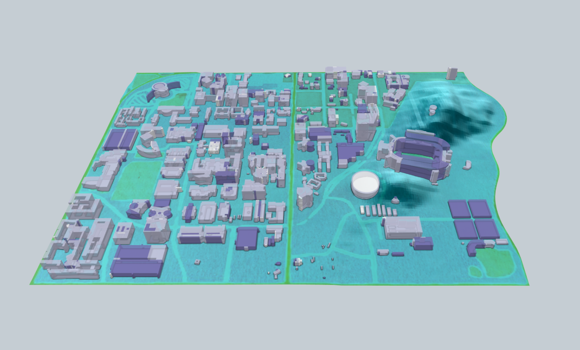
GIS (geographic information systems) Day is an international event celebrated by organizations, institutions and communities across the globe. The event provides a forum for users of GIS data and tools to demonstrate and discuss how geospatial technologies are improving the ways by which humans interact with, understand, protect, organize and manage space.
The day will feature the presentation "How Maricopa County Uses Mobile GIS for Zika Response Drills," given by Neill Fotheringham. Fotheringham is a GIS analyst for the Maricopa County Department of Health Services. Other activities include experimenting with Google Earth VR, a Creative Cartography art exhibit, Take-a-Map giveaway boxes and an info booth for the Masters of Advanced Studies in GIS graduate program.
The event is free and open to the public.
Please RSVP to secure your space!
Parking and Transit:
The ASU Library Map and Geospatial Hub is easily accessible from the Light Rail at the University Drive and Rural station.
Parking is accessed from either University Drive or Rural Road. From University Drive, turn south on McAllister Avenue to access the Tyler Street parking structure, which will be on your left.
Alternatively, from Rural Road, turn west on Lemon Street to access the Rural Road parking structure, or head north on McAllister until you cross Tyler Street to reach the Tyler parking structure, which will be on your right just after the three-way stop. Both parking structures are open to visitors.