Dutton’s Atlas: How Cartography Helped the Canyon Become Grand
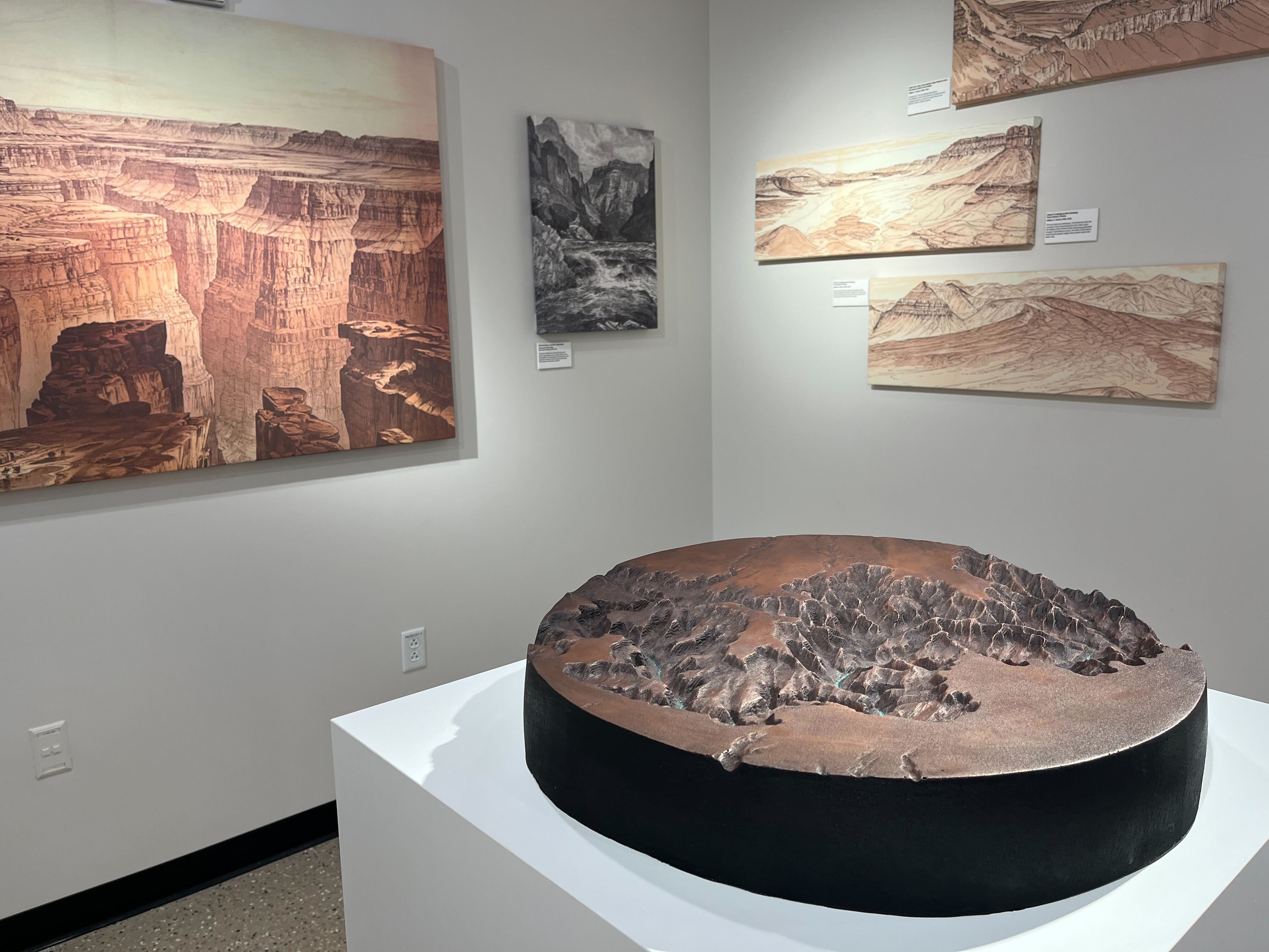
"Dutton's Atlas" is the name given to a 19th century book and companion atlas authored by Clarence Dutton. It was published in the year 1882 as the first publication of the fledgling United States Geological Survey. The "Tertiary History of the Grand Cañon District" provided the the world's first comprehensive treatment of Grand Canyon geology. But its compelling combination of literary prose, maps and landscape art extended the reach of its impact far beyond that of pure science. Dutton's Atlas helped revolutionize how modern society came to conceptualize and valorize the Grand Canyon.
Explore the exhibit online and at Hayden Library until Dec. 2. Check Hayden Library hours to plan your visit.
Map and Geospatial Hub
ASU Library
mapgeo@asu.edu
https://lib.asu.edu/geo
-
-
-
-
-
-
-
-
-
-
-
-
-
-
-
-
-
-
-
-
-
-
-
-
-
-
-
-
-
-
-
-
-
-
-
-
-
-
-
-
Hayden Library, Level One