Georeferencing Mapathon: Historic Aerial Photos
Join the ASU Library Map and Geospatial Hub for this three-hour workshop session on georeferencing historic aerial photographs.
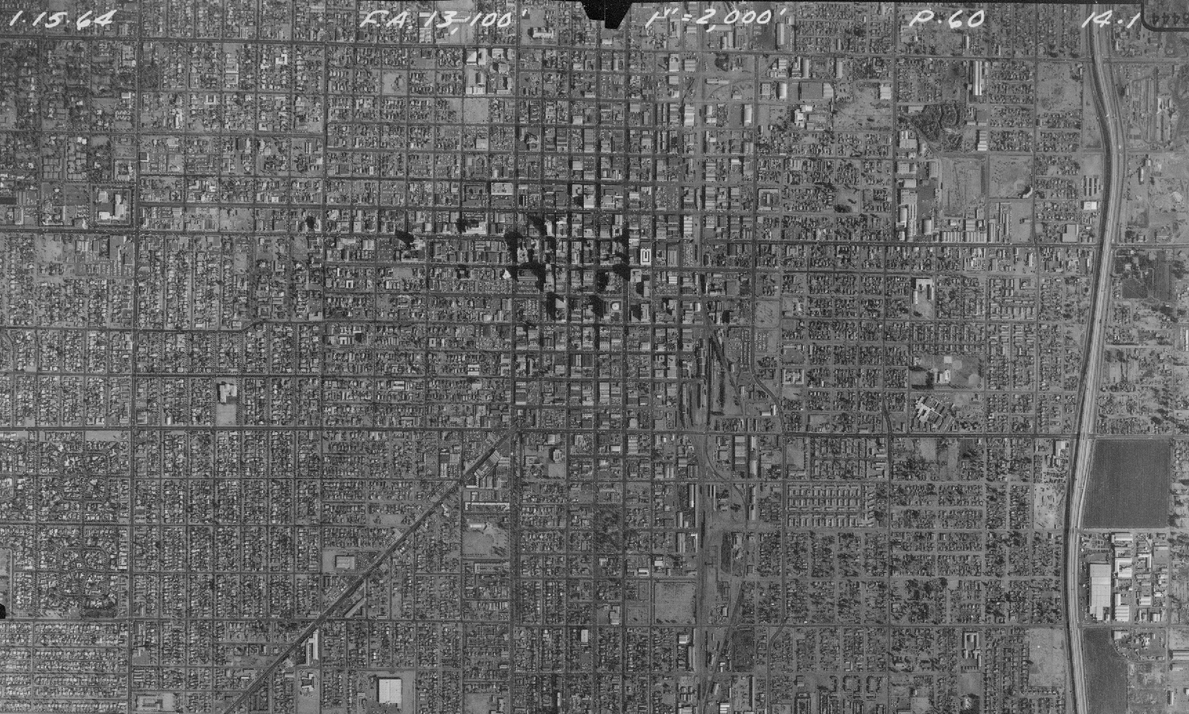
This is a different kind of "mapathon" session. Participants will work with a newly digitized set of imagery data — aerial photographs captured on behalf of the Arizona Department of Transportation in the 1950s–1960s for the purpose of mapping existing and future highway and interstate corridors. (Click here to learn more about the ADOT Highways and Interstates Aerial Photo (1959–1964) collection .)
Workshop participants will add value to these free, publicly available historical datasets by defining their coordinates in real geographic space, allowing them to be analyzed in relation to other geographically referenced data layers within any geographic information system (GIS) software platform.
No previous GIS or image processing experience is required. We'll be working through the entire georeferencing workflow within a free open source software program called QGIS.
Twenty desktop workstations are available. Participants wishing to work from their own laptops can pre-install QGIS at https://qgis.org/en/site/.
Registration is free and open to the public, but seats are limited and priority will be given to ASU students, faculty and staff.
Please see the full calendar of Map and Geospatial Hub events.