Historic Aerial Photographs of Arizona
Ever wondered what your backyard looked like 50 years ago? Or how about the ASU Tempe campus? Google can only take you so far back.
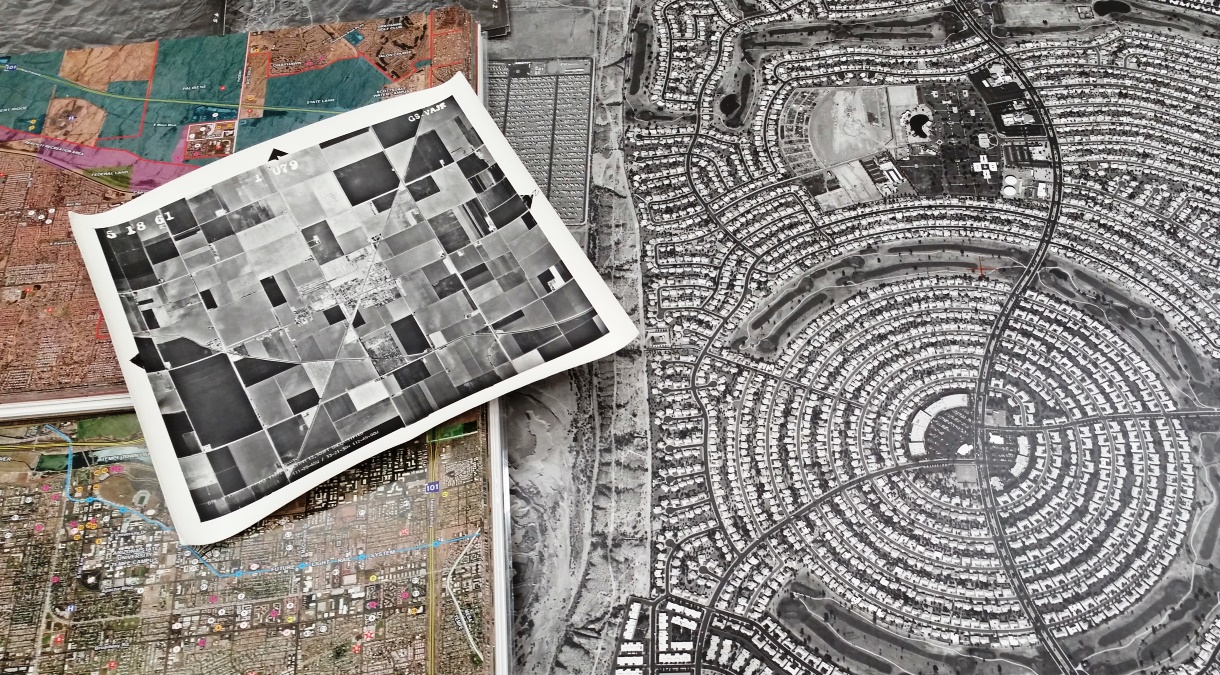
Come visit the Map and Geospatial Hub to explore historic aerial photographs of Maricopa County as far back as 1937.
Karina Wilhelm
Noble Science Library, Map and Geospatial Hub
480-965-5183
karina.wilhelm@asu.edu