Intro to 3D Geo-Printing
Join the ASU Library Map and Geospatial Hub for this two-hour workshop on printing geographical 3D models.
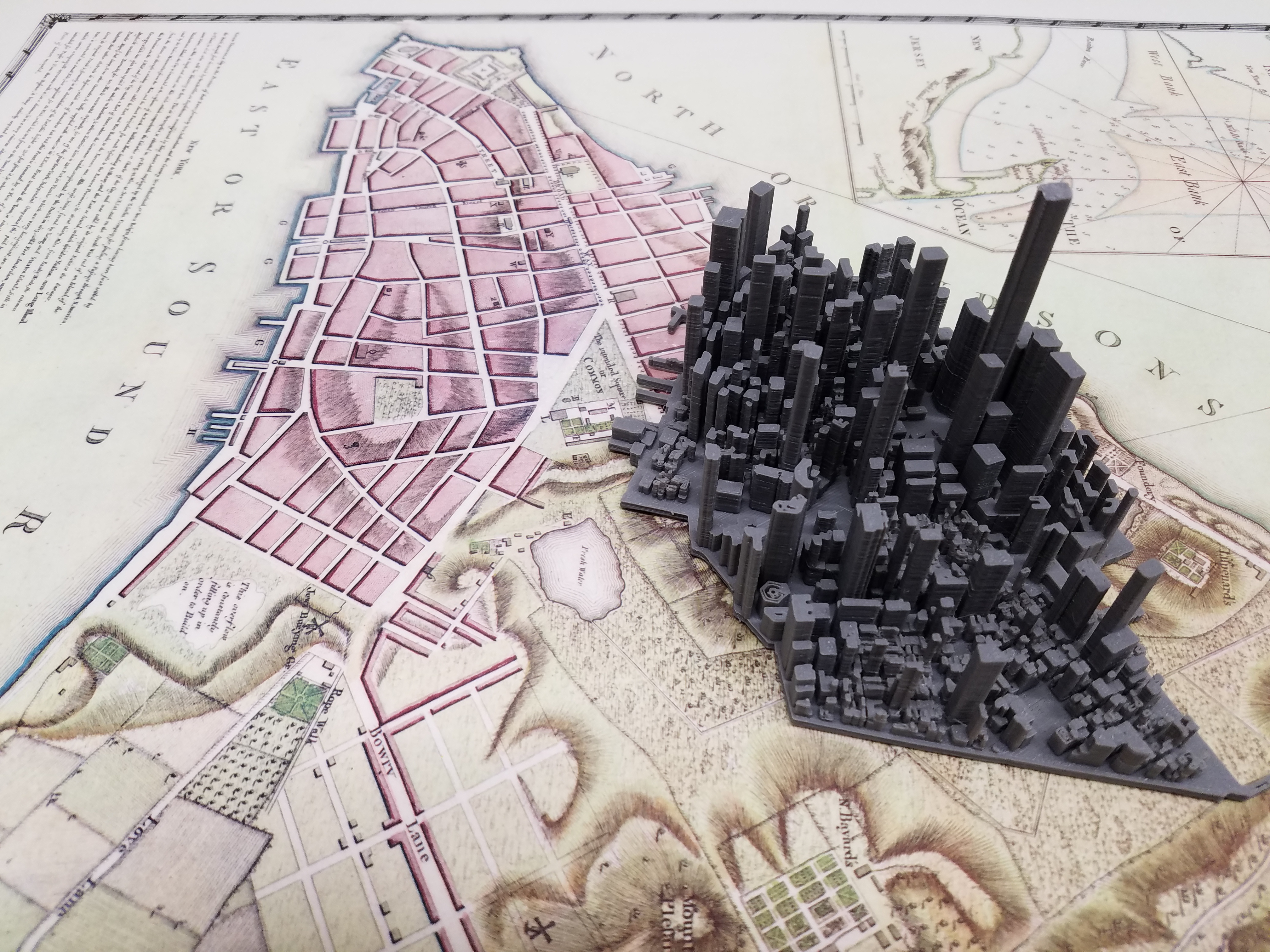
This hands-on workshop will explore three types of geographical 3D models thus far experimented with: (1) physiographic (topographic landscapes); (2) cityscapes (built environment meso-scale); (3) building and landscape architectures (built environment micro-scale). In all three of these instances, the primary data inputs will be publicly-available geospatial datasets.
We'll explore both web-based data extraction services that quickly provide appropriate data for 3D printing, as well as raw data that requires some basic pre-processing in a free, open source geographic information system (GIS) software application called QGIS.
Twenty desktop computer workstations are available for this workshop. Alternatatively, participants can perform the workshop activities using their personal laptop computers.
Participants intending to use their own computers may want to pre-install the free software needed to follow along with workshop activities:
- QGIS: http://www.qgis.org/en/site/forusers/download.html
- Meshlab: http://www.meshlab.net/
- Makerbot Print: https://www.makerbot.com/print/
Please see the full calendar of Map and Geospatial Hub events.