Putting Historic Maps in their Place
Join the ASU Library Map and Geospatial Hub for this one-hour workshop on how to quickly and easily georeference historic map images.
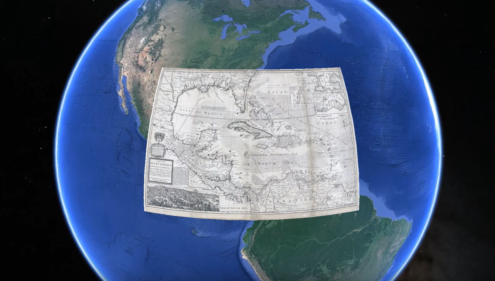
Georeferencing is the process of assigning spatial coordinates to digital images -- defining their location in real geographic space. Most geographic information system (GIS) software applications offer the ability to georeference digital map images.
In this workshop, we'll be using one of the easiest-to-use tools for georeferencing: Google Earth Pro.
Twenty desktop computer workstations are available in the lab for this workshop. Alternatively, participants can perform the workshop activities using their personal laptop computers.
Participants intending to use their own computers should please pre-install the free software needed to follow along with workshop activities: Google Earth Pro on Desktop.
We hope to see you there!
Please see the full calendar of Map and Geospatial Hub events.