Working with LiDAR Data in ArcGIS Pro
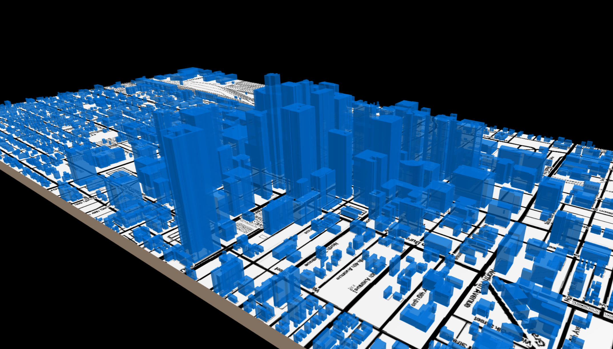
Raw Light Detection and Ranging (LiDAR) data are dense clouds of points in space. They are extremely powerful for conducting analysis and visualizing objects in three dimensions. This 2.5-hour workshop will introduce users to working with and processing LiDAR data with ArcGIS Pro desktop software.
These metro Phoenix LiDAR point clouds are open source data and distributed to the public and ASU community by the ASU Library Map and Geospatial Hub via the ASU GeoData platform. The workshop is free and open to the public, and is scheduled for a live online session (via Zoom).
Licensing Note: While free and open to the public, this workshop involves use of the Esri ArcGIS Pro, a licensed/proprietary GIS software. Attendees wishing to participate in the hands-on activities in this workshop must come with their own access to Esri ArcGIS Pro. ASU affiliates can access ArcGIS Pro by following these instructions: https://libguides.asu.edu/esrisoftware/arcgispro
Full instructions for joining this online workshop (via Zoom) will later be provided to all registered participants.
Instructor: Matthew Toro