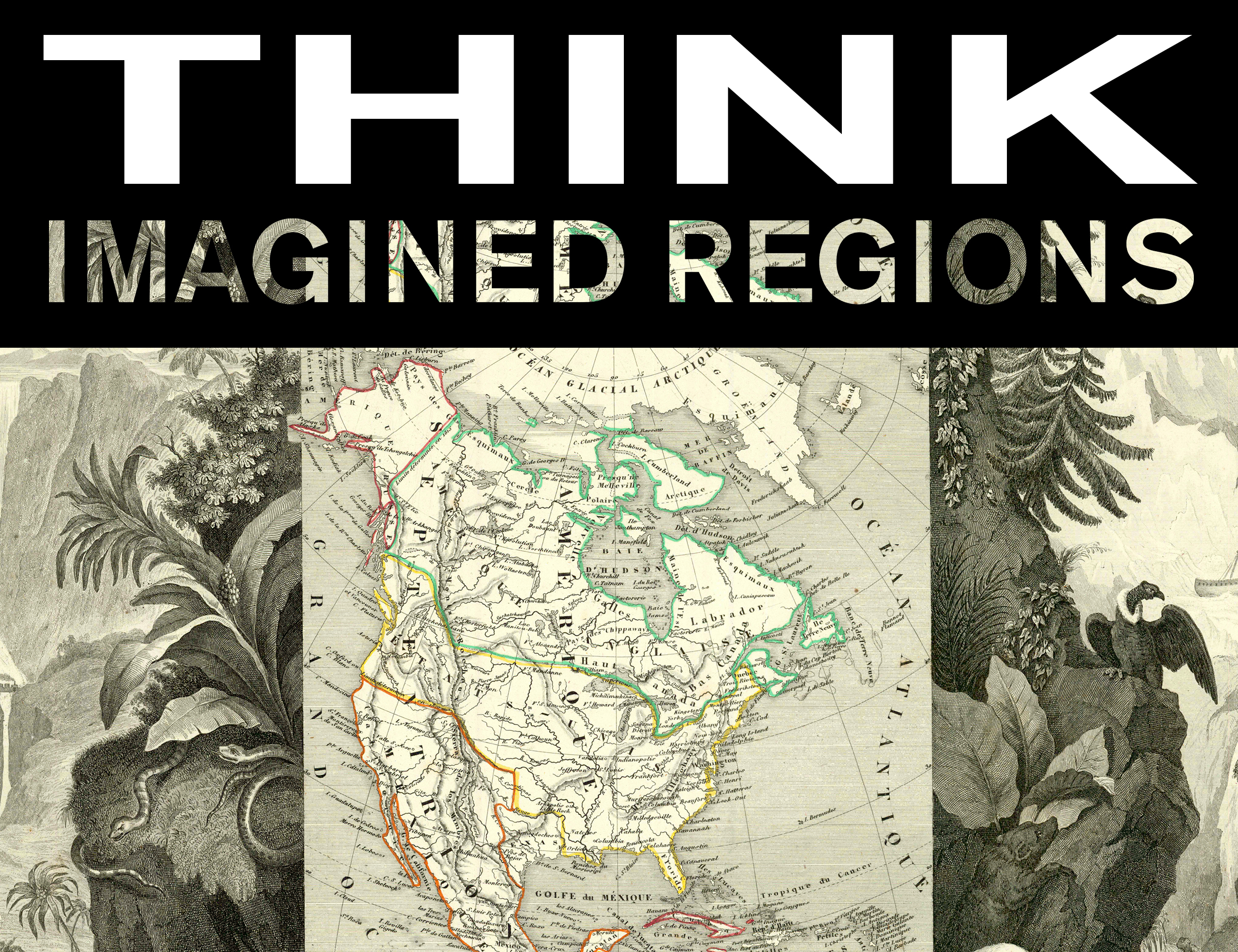
THINK Imagined Regions

THINK Imagined Regions is the reception for the permanent installation of the Imagined Regions exhibit. This exhibit features select maps from the Simon Burrow Map Collection, owned by the School of Transborder Studies at Arizona State University.
The exhibit "Imagined Regions" highlights the different ways the Americas have been perceived and deal with by mapmakers and it reflects the evolution of representations of space and lived territories of the United States and Mexico from the sixteenth century onwards.
The maps in this exhibition tell many stories about the inventive nature of cartography and the early exploration of uncharted territories in the Americas. The maps provide insight into how the land claims and disputes of nation building evolved over time and how they shaped the human landscape of the continent. They also offer an account of the hesitations, contradictions and subjectivity of cartography. Most importantly, the maps on display showcase how territory and space have been and continue to be invented, and how imagined regions have had the power to shape the evolution of the United States-Mexico borderlands. Geographical imagination is very much alive and well as attested by the vitality of Ambos Nogales, CaliBaja, El Paso del Norte and other transborder ideas pursued persistently in the United States-Mexico borderlands.
For more information visit ptc.asu.edu or email ptc@asu.edu.

